
Fort Carroll is an artificial island and abandoned sea fort in the middle of the Patapsco River south of Baltimore. We passed this on our most recent cruise out of Baltimore attempting to go to Greenland. It originally housed 350 canon ports before rains flooded it out and it was deemed vulnerable and obsolete in 1864.

I had hoped at some point during his trip I would get the opportunity to photograph some Puffins, but my hopes were dashed.

I don't know for sure, but I think the small towers are for navigation and the structure next to it is for drying fish. Don't take my words as gospel.

This looks like a seasonal site; I see the chimneys are covered sooo...


4 pretty good size chunks of ice floating by. The fog and haze were horrible.


There was a ship in port, so we had to "tender" using lifeboats as there was no room for the ship to dock. We were near the Capt. James Cook statue

The sign on the water's edge warns of rapid changing water levels Keep off.
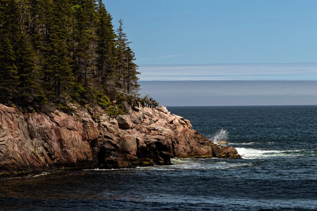
Not much to show from our excursion in Sidney, NS. This is all I got.